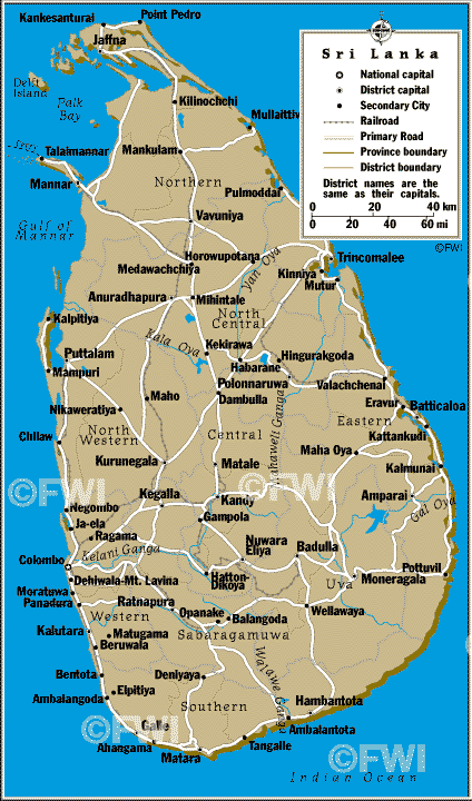
Mahaweli River
From Wikipedia, the free encyclopedia
The
Mahaweli River (
Sinhala:
මහවැලි ගඟ, literally "Great Sandy River";
Tamil:
மகாவலி ஆறு [
mahawali gangai]),
[1] is a 335 km (208 mi) long river, ranking as the longest
river in
Sri Lanka. Its
drainage basin is the largest in the country, and covers almost one-fifth of the total area of the island. The river reaches the
Bay of Bengal on the southwestern side of
Trincomalee Bay. The bay includes the first of a number
submarine canyons, making Trincomalee one of the finest deep-sea
harbors in the world.
[2] The river and its tributaries are
dammed at several locations to allow
irrigation in the dry zone, with almost 1,000 km
2 (386 sq mi) of land irrigated.
[3] Production of
hydroelectricity
from six dams of the Mahaweli system supplies more than 40% of Sri
Lanka's electricity needs. One of the many sources of the river is the
Kotmale Oya.
[4]